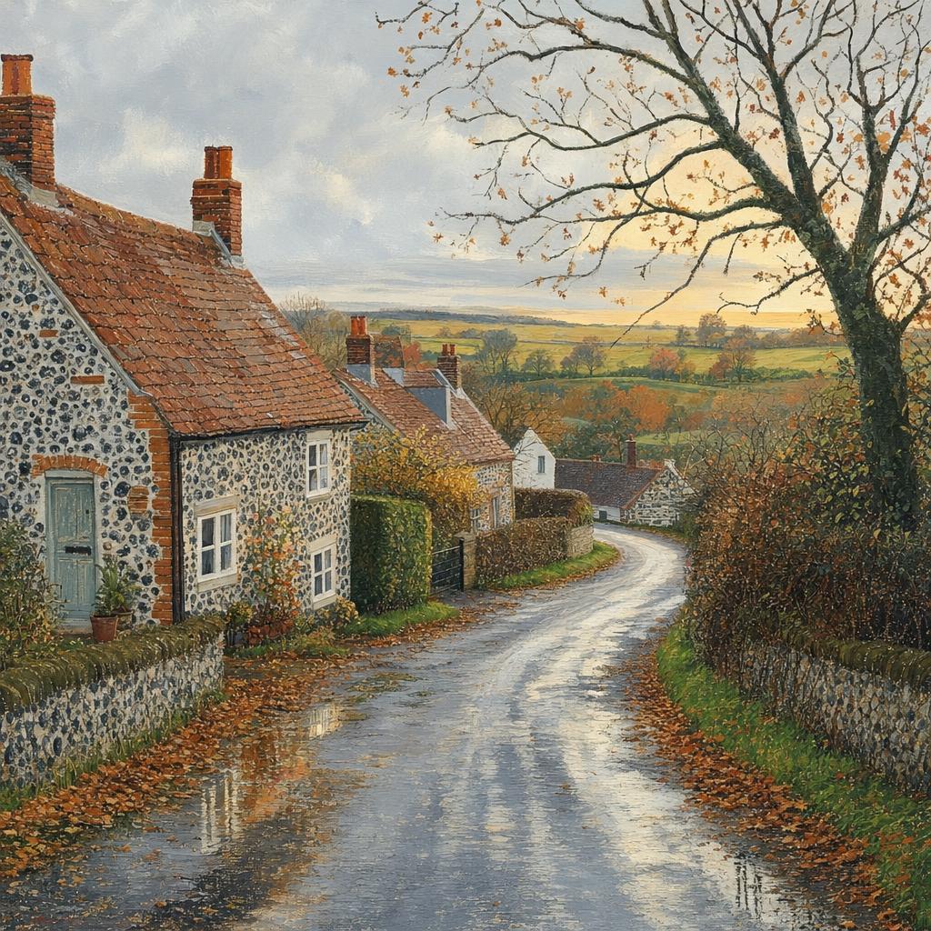
Friday 20th November Good morning. It’s Friday, 20 November 2026, and it’s a fairly typical late-autumn mix across the UK: chilly in the north, milder but damp in the south and west, with some brighter breaks developing here and there. The wettest and windiest conditions are likely across the south-west, especially early on, where outbreaks of rain and brisk coastal winds could make for a rather grey start. If you’re travelling on exposed routes or near the coast, allow a little extra time, as spray and gusts may be noticeable. Across Wales, the Midlands and the south-east, there’ll be a good deal of cloud with patchy light rain or drizzle at times. It won’t be especially heavy, but enough to keep pavements damp and make it worth carrying a brolly. Temperatures here generally reach around 7 to 10°C, so cool rather than bitter. Eastern parts of England may see more persistent drizzle for a time, though there are signs of brighter intervals later in the day, particularly towards late afternoon and evening. Northern England starts on the chilly side, with some areas close to freezing first thing, then a largely dry day for the north-west, while the north-east may catch a little light rain or drizzle. Scotland has one of the colder days, with temperatures only around 5°C in places, but it should be mostly dry with some pleasant sunny spells breaking through. Northern Ireland also looks largely dry, with the best of the brightness during the morning. Winds are mostly light to moderate inland, stronger around south-western coasts. Overall, it’s a day for layers, a waterproof close to hand in the south and west, and perhaps a chance to enjoy some crisp late-autumn brightness further north.
AI Prompt Used to Generate This Image:
Colourful naive folk art style, realistic UK autumn weather: a quiet Norfolk village lane with flint cottages, bare hedgerows and copper leaves, damp from light drizzle under a soft grey sky. Puddles glimmer on the road as a pale evening break in the clouds warms the fields; no text, no watermarks.