Tuesday 8th September Good morning. For Tuesday, 8 September 2026, it’s a fairly unsettled autumn day across the UK, with rain moving through in bands and a brisk feel in places. The wettest conditions are likely across the south and south-west, where some heavier bursts of rain early on could make for a rather grey start and some spray on the roads. The south-east also sees a damp morning, with rain clearing gradually, though it may stay cloudy and muggy for a time before any brighter breaks develop later. Across Wales and the Midlands, there’s a similar theme: early rain, some of it steady, then a tendency for conditions to ease as the day goes on. It won’t be completely dry everywhere, but the afternoon should feel a little more usable, especially where cloud lifts. Northern England starts mixed. The north-west is breezy with some outbreaks of rain, while the north-east has a better chance of staying mostly dry with a few bright or sunny spells. Winds will be noticeable here, particularly along exposed coasts, so it may feel cooler than the thermometer suggests. Scotland has a fresher feel, with temperatures a touch lower and winds quite brisk. There may be a little rain around during the morning, but rainfall totals look modest for many, with some brighter intervals in between. Northern Ireland sees just small amounts of rain overall, with the best of any sunshine likely later in the day and into the evening. It should turn into a more pleasant finish there, albeit still on the breezy side. Temperatures range from around 16°C in the north to 18 or 19°C in the south, so not especially cold, but the combination of cloud, rain and wind will make it feel properly autumnal at times. If you’re heading out early, a waterproof layer is well worth having to hand.
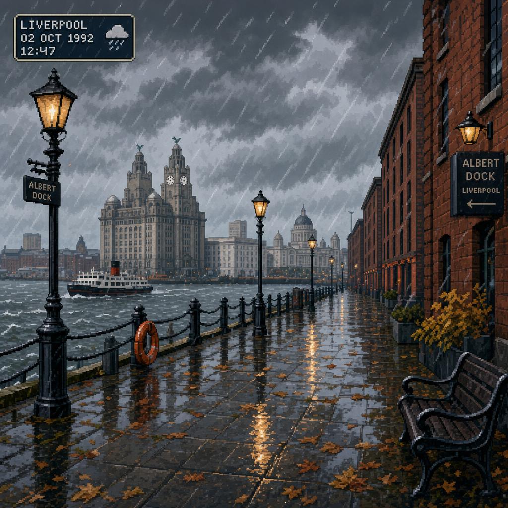
AI Prompt Used to Generate This Image:
Pixel art scene, as if from a retro video game: a windswept Liverpool waterfront in early autumn, with slate-grey clouds, damp stone paving, and light rain blowing across the Mersey. Brick warehouses and railings glisten with puddles, while amber streetlights reflect softly in the wet ground, capturing a moderate, blustery rainy day without exaggeration.