Thursday 27th August Good morning. It’s Thursday, 27 August 2026, and for many of us this summer’s day comes with quite a bit of rain in the forecast. The wettest weather is likely across Wales, the Midlands and parts of the south-east, where some heavy bursts are possible, especially through the morning. Surface water could build up in places, so do allow extra time if you’re travelling, and keep a brolly close by if you’re heading out early. Across southern England more widely, it will feel warm and rather humid, with temperatures reaching the low to mid-20s. The south-west sees some early rain, then a more mixed picture, while the south-east may brighten a little later after a damp morning. For northern England, expect a cooler and cloudier day, with outbreaks of rain most likely around late morning and into the afternoon. Temperatures here will sit closer to 19 or 20°C, so not cold, but certainly not as summery as further south. Scotland has one of the drier stories today. There’ll be plenty of cloud around, but also some brighter breaks, especially at times, with highs around 18°C. It may feel a touch fresh in the breeze, particularly towards exposed and coastal spots. Northern Ireland should stay mostly dry for much of the day, with just a little light rain or drizzle possible later on. Winds are generally moderate across the UK, not especially disruptive, though noticeable around coasts and higher ground. So, in short: warm and humid with heavy rain at times in the south, Wales and the Midlands; cooler, showery conditions for northern England; and a quieter, drier day for Scotland and much of Northern Ireland.
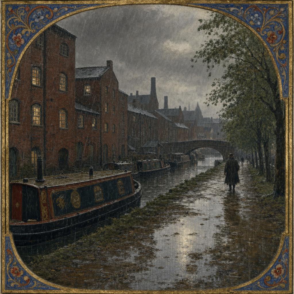
AI Prompt Used to Generate This Image:
A medieval manuscript illumination of a rain-soaked Birmingham canal quarter in late summer, with red-brick warehouses, narrowboats, and towpath trees blurred by heavy morning downpours. Deep puddles reflect muted window light under a low grey sky, the scene realistic and subdued, with no text or watermarks.